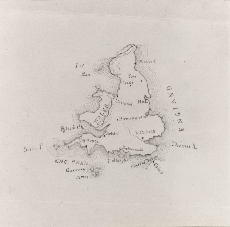
Home > Catalogue > Browse > Map of England and Wales << >>
Map of England and Wales is signed and dated 1850, and was probably drawn when Whistler was at Christ Church School, Pomfret, CT.
Louise Chandler Moulton (1835-1908) remembered that the maps drawn at Pomfret by Whistler 'were at once the pride and envy of all the rest of us – they were so perfect, so delicate, so exquisite in workmanship.' 1
Last updated: 12th December 2018 by Margaret


